How Digital Route Management Tools Are Helping Cities Save Thousands Annually
- Argos Connected
- Jul 9, 2025
- 3 min read
In cities and counties across the Midwest, public works departments keep communities running smoothly, whether it is plowing snow, sweeping streets, collecting leaves, or collecting household waste. But behind these daily and seasonal operations, there’s a hidden cost that’s draining budgets: outdated, manual routing.
Believe it or not, many agencies(regardless of size) are still relying on paper maps, decades-old driver knowledge, and guesswork to plan daily routes. And while that local know-how is invaluable, when it isn’t captured or digitized, it can vanish overnight, along with the efficiency it provides.
The True Cost of Sticking to Paper
Manual route planning might seem harmless, but its impact adds up fast. According to the U.S. Bureau of Labor Statistics, labor accounts for approximately 70% of business costs. When drivers take longer routes, miss sections of road, or spend extra hours backtracking, those costs multiply.
Consider winter operations. A missed pass on a snow route can lead to hazardous road conditions and frustrated residents, not to mention overtime labor and wasted fuel to re-run the route. Let’s assume that those additional service calls across a season account for a 15% increase in fuel usage. For an agency spending $50,000 on winter fuel alone, that’s a potential loss of $7,500 every year, just because of outdated routing.
And that’s just winter. Street sweeping, garbage collection, leaf pick-up, or any operation that covers dozens (or hundreds) of miles daily is a candidate for serious savings through digital route management.

Local Knowledge Shouldn’t Retire With Your Crew
Many agencies often depend on veteran drivers who know every shortcut, back road, and tricky intersection by heart. But what happens when those drivers retire or move on?
All that critical route knowledge walks out the door, leaving new hires to learn the hard way, through trial and error. Digital public works route management locks in decades of experience and makes onboarding easier with turn-by-turn navigation designed for municipal tasks.
A modern routing solution can cut onboarding time dramatically. Instead of spending weeks shadowing a seasoned driver, new staff can hit the road confidently with a tablet or in-cab display guiding them every step of the way.
Why Google Maps Won’t Cut It
You might think, “Can’t we just use Google Maps?” It’s free, it’s familiar. But tools like Google Maps were built for commuters and delivery drivers, not municipal services.
Public works routes need to handle alleyways, cul-de-sacs, and shortcuts through city-owned easements or parking lots. Commercial navigation apps won’t calculate those custom paths, often adding several unnecessary miles to each shift.
For example, if a single street sweeper drives an extra 5 miles per shift, five days a week, at an average of $3.25 per mile in fuel and maintenance, that’s over $4,200 wasted per vehicle per year. Multiply that by a fleet of sweepers, snowplows, or refuse trucks, and you see how quickly it balloons.
Purpose-Built Digital Route Management Tools Make the Difference
There’s good news: agencies don’t need to overhaul everything overnight. Specialized tools like Rasters.io are built specifically for public works operations, giving cities and counties an easy way to digitize and optimize routes without trying to force-fit commercial software.
Rasters.io integrates with GIS data, meaning your agency’s detailed maps and jurisdiction boundaries become actionable, dynamic routes. You can update routes for construction, closures, or seasonal tasks in minutes, not hours.
And because Rasters.io is designed for public works, experienced drivers who know that cutting through an alley or parking lot is the most efficient way to stay on track won’t be rerouted.

The result? Fewer missed streets, less fuel burned, and crews that spend more time working and less time backtracking.
Small Steps, Big Savings
Public works departments don’t have unlimited budgets. But they do have options. By moving away from paper maps and tapping into digital public works route management, even the smallest city or county can stretch every tax dollar further.
Rasters estimates that investing in digital solutions for fleet and operations can deliver as much as a 20% savings in fuel and labor costs. For an agency running a modest 10-vehicle fleet, that could easily translate to several thousands of dollars in annual savings, making it easier to put money back into roads, parks, and community services.
Ready to Digitize Your Routing?
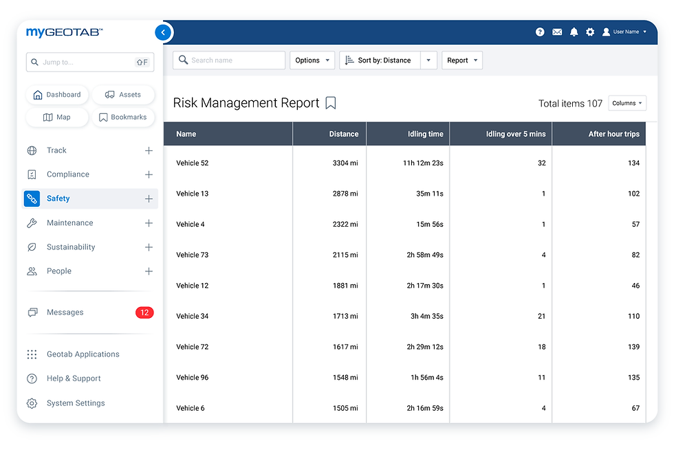
Argos Connected Solutions partners with tools like Rasters.io to help Midwest cities and counties modernize their operations without the headaches. Learn how digital route management can keep your crews moving, your roads safer, and your budgets balanced, and see how it all integrates with Geotab for a seamless fleet management experience.

.png)


Comments